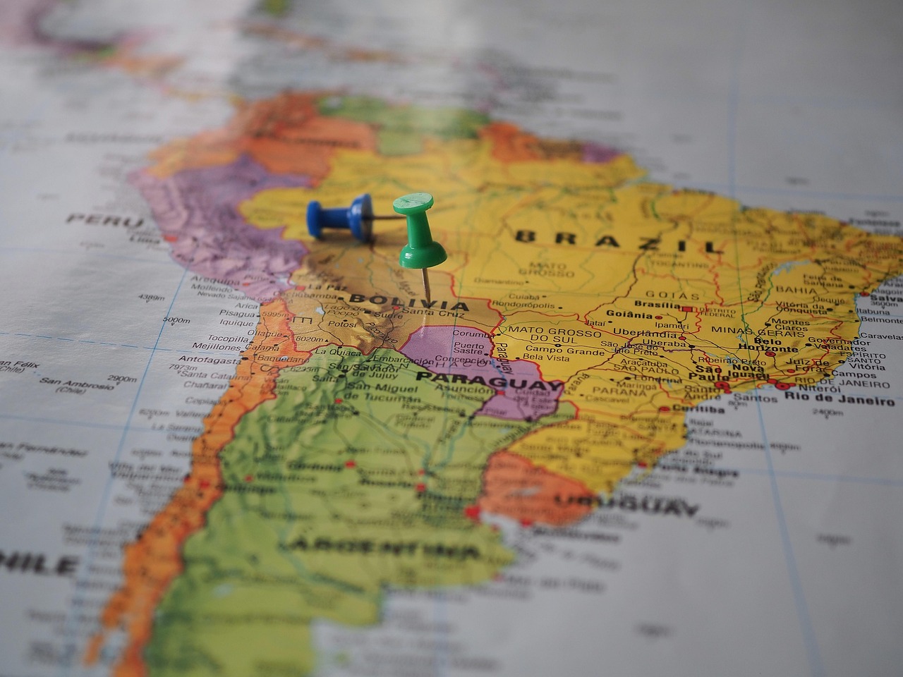
The knowledge, which is even part of general culture, that position matters a lot in business is an indication of its great relevance. Within Market Research, position is one of the variables to which both brands and customers pay the most attention. This factor is decisive for purchasing decisions. Accessibility, distance, and concentration of points of interest often determine whether consumers approach the sales sites or not. Even in online purchases, the so-called spatial friction persists because the supply is subject to the transportation conditions of products and workers.
In practice, different types of spatial elements can be analyzed. The most basic are points, lines, and polygons. In this week’s post, we will focus on the first since its logic applies to the rest of the analyzable objects. Since time immemorial, a large number of ways to record the position of places have been described. This attribute refers to the objetive data of an object within a territory. Location is sometimes used, which is the relative position of the object of interest with respect to control points. However, the latter is prone to several drawbacks. For this reason, today we describe four ways to record the position of places.
Geographic coordinates. When we take Geography at the elementary level, this topic is a fundamental part of the program. It is a reality that is used in various fields both within and outside of the market. It refers to the angular distances between various reference points. Latitude is the distance of a point from the equator and can have values from 0° to 90° in both north and south positions. Longitude is the distance between a point and the Greenwich Meridian and its values can range from 0° to 180° in both east and west positions. This data can be captured with mobile devices and is supported by online mapping platforms such as Google Maps.
UTM coordinates. There is another geographic coordinate system that is not based on angular distances. This is the Universal Transverse Mercator, and its logic is based on the projection of the Earth’s sphere onto a segment of a cylinder with secant on a specific meridian. Its unit of measurement is the meter. To cover most of the Earth, the planet was divided into 60 zones with their respective south and north positions. Although it allows distances to be calculated using basic geometric formulas, it has drawbacks such as not covering the entire planet, having distortions in the bordering zones of each area, and requiring intermediate knowledge of Cartography or Geography to master its use.
Address. This is one of the most well-known vernacular forms for determining a position. Several public and private organizations use it because it is accessible and familiar to most people. On several platforms, it is the most widely used form of this designation. However, it has several areas of improvement. Many online digital map pages do not have a sufficiently robust database of addresses and often return incorrect positions. Who hasn’t gotten lost or been unable to receive a package due to the address when using services like Bing? Furthermore, management logic does not always follow intuitive patterns, causing confusion in outsiders.
Customized systems. In very specific cases, it is possible to use original positioning methods designed exclusively for a specific purpose. Typically, the Cartesian plane is used, with values assigned to the abscissa and ordinate axes relative to an arbitrary center point. Other formulas can be chosen, but ultimately, they require user education on how they work and add additional tasks if conversions between other systems such as geographic coordinates or UTM are required. It should be noted that the application of these systems is very sporadic, but can be found in very specific settings and in rather small areas.
A common concern among those working with position data is the accuracy of their capture. There are mechanisms that make it possible to minimize this error through the use of high-precision devices, which are generally reserved for construction and material extraction. For most market research purposes, the accuracy of most mobile devices is sufficient. In some projects, capturing the location’s coordinates will not be of interest, and manual entry of the address of the survey point may be limited. However, it is advisable to register each point in at least two position systems to reduce capture errors or implement desktop monitoring tasks.
At Acertiva, we have expert analysts in this field. Through Geomarketing solutions, we can help your brand reach new heights of growth. We offer you over two decades of experience conducting market research in LATAM. Put yourself on the map with your potential customers thanks to the advice of our team of experts and strategic allies in the region. We also offer a free fifteen-minute consultation so you can discuss your concerns about your future projects. This contact can be the beginning of the journey that will allow you to realize your next success story.

Short Link: