One of the most basic foundations of Market Research relates to location. The latter is also known as site and is one of the original four “p”s of Marketing. Behind this aspect lies a social science: Geography. Among the disciplines that provide valuable concepts and analysis for brands and businesses, we can conclude that it is quite useful when it comes to deepening knowledge of people and competitors.
Although we can initially summarize its impact by answering the question “where,” Geomarketing offers a wide range of solutions and products that companies use to make informed decisions. The nature of each will define the type of study or project that spatial and commercial analysts will execute. Given the plurality of options available, this week we review four solutions in this field.
Census of points. The most obvious dimension in territorial analysis is the point. As a single-dimensional object, it is usually easy to acquire and represent, as long as we are not talking about a huge number of these objects. Whether registered by address or geographic coordinates, it is a challenge for companies to maintain an up-to-date inventory of this collection of objects, whether they are their own or those of a competitor. Constantly updating these objects requires a long-term investment.
Heat density. This is an analysis that allows the concentration of territorial objects to be translated into color-gradient polygons. It is generally based on the point unit as the raw material. These products are very useful as they provide evidence of the areas with the highest concentrations of locations. Based on these findings, it is possible to identify places with high competitor saturation. This analysis must be accompanied by other analyses to be correctly interpreted.
Traffic. What would commerce be without consumers and logistics supply chains? Within the Geography of Commerce, the dynamics of the volume of people coming and going from point “A” to point “B” are also studied. This data can be acquired internally through analog or automated field surveys. There are also platforms that offer databases on the most prominent corridors. In any case, the nature of the flow must be characterized to determine whether or not it impacts our research object.
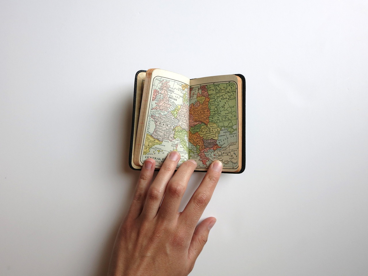
Interactive map. The map is a model of the territory; as such, it is the abstraction of a specific area. Far from technically having to meet certain minimum characteristics, it is one of the documents traditionally linked to geographic work. Along with the globe, it is considered a symbol of authority and power par excellence. And this correlation is no small matter. Decision-makers find in real-time updated platforms a powerful tool for their work.
There are many other products and types of analysis that Market Geography provides. However, we wanted to detail the most popular ones due to their applications and proven usefulness. Geography is not just a school subject where you have to learn capitals and countries. It’s an ally of brands and startups when it intersects with Marketing. For this reason, many market research agencies have analysts in the field.
At Acertiva, we understand this reality and therefore have professionals in the field. We offer you our experience in this and other methodologies over the past twenty years. We have teams and strategic partners in LATAM to meet your needs. In addition, we offer a free fifteen-minute initial consultation. Contact us today. It could be the start of your next success story.

Short Link: