![HOW DO GEOGRAPHICAL INFORMATION SYSTEMS DRIVE MARKET RESEARCH?
Thematic maps. They generate synthetic spatial graphic documents.
Territorial analysis. They are the basis for obtaining key findings.
Field routes. They make it possible to define the most efficient paths.
Supervision. They avoid data falsification thanks to geolocation.
Source: Staff, 2023, Acertiva](https://blog.acertiva.com/wp-content/uploads/2023/11/2023-11-17-EN-1024x536.jpg)
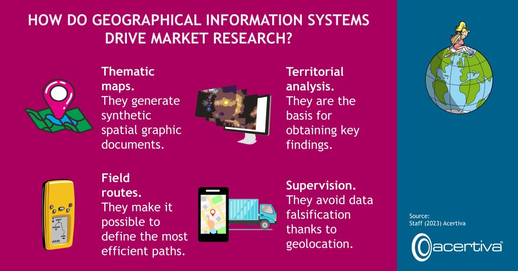
How Do Geographical Information Systems Drive Market Research?
![HOW DO GEOGRAPHICAL INFORMATION SYSTEMS DRIVE MARKET RESEARCH?
Thematic maps. They generate synthetic spatial graphic documents.
Territorial analysis. They are the basis for obtaining key findings.
Field routes. They make it possible to define the most efficient paths.
Supervision. They avoid data falsification thanks to geolocation.
Source: Staff, 2023, Acertiva](https://blog.acertiva.com/wp-content/uploads/2023/11/2023-11-17-EN-1024x536.jpg)
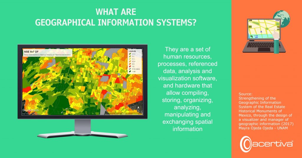
This November 15, the 2023 version of Geographic Information Systems Day is celebrated in the world. Also known as SIG in Portuguese and Spanish, they are a set of elements that include the people who do the analysis, georeferenced data, maps and computer programs. As a general rule, most consider GIS to be just the software. Among the best known… Leer más →