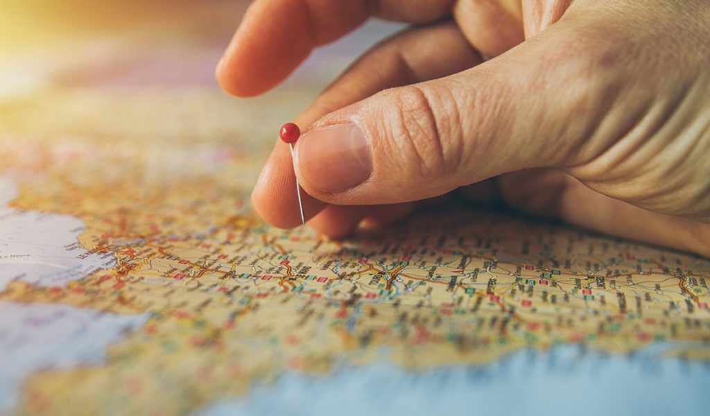
All the activities that consumers and brands do take place in the territory. Therefore, it is not surprising that Geomarketing is valid in many studies. The “place” variable is extremely decisive in several areas since it defines other phenomena such as accessibility, commercial clusters and target segments. Geography is the social science that best helps Marketing in this task.
Answering the question «where» is the method that distinguishes geographic science from other disciplines. For this reason, Cartography is its main ally since it gives rise to making models of the Earth’s surface known as maps. Maps help us represent data with geographic location attributes. There are several types of georeferencing. Below we list some of them.
Address. The way we all know is to use direction. However, in each country the structure of this attribute will contain more or less data. To cite a few cases, in some Mexican cities it is necessary to indicate the street in front and the two between streets of a given place to define it. In other cases, such as Guatemala, it is also preferable to indicate more information such as the Zona in which a site is located.
This way of defining the position of a place has some drawbacks such as the changes that the road nomenclatures may undergo and that some polygons may have slightly different structures than the general one; like some that are on highways or industrial parks. This system is the one used by us at Acertiva to indicate where our offices are in Mexico and Brazil.
Gradicle. It is perhaps the most classic way that most users identify to define the position of a site in the world from Geography. It is also identified as «geographic coordinates» and is composed of at least two attributes: latitude and longitude; some may add a third which is altitude. The first is the distance in degrees from the equator line and the second is the distance in the same unit of measurement from the 0 or Greenwich meridian. It can be expressed in degrees, minutes and seconds.
However, other forms of referencing are preferred due to their limitations, such as the fact that one must be familiar with the sexagesimal system to make the necessary calculations to add or subtract distances. Several national organizations that generate geographic and economic data use this type of reference in addition to the address as location attributes and that is why it is essential to have experts on the subject to use them in market studies.
Grid. This notation is little known in traditional Marketing because it privileges the measurement of distances using formulas known to almost everyone, such as the Pythagorean theorem. This is achieved because its basis is the projection of the surface of the terrestrial globe on a plane perpendicular to the equator. To achieve this, the world is divided into several zones so that each one has a central meridian that covers the largest possible territory without major distortions. The latter is achieved by dividing the world into several zones. The unit of measurement for this system is the meter. However, technical knowledge is required to exploit all its advantages and they do not usually add added value in the vast majority of cases in our sector.
Defining precisely and clearly the geographical location of points, polylines and polygons is essential in several studies. Its applications are varied and range from being able to return to the same place in different waves to preventing the collection of information far from the place where an interview is expected to be applied. To obtain all the benefits of location, analysts with competence in Geography or Cartography are required, as has been inferred from the beginning of this blog entry.
At Acertiva, we have experts and allies in these topics that will help you solve your Geomarketing research needs in Latin America. Added to the latter, we have more than twenty years of experience with which we can help you solve your Market Research requirements. Send us a message today so together we can write your next success story.

Short Link:
