
To get to know consumers we can collect countless data and information. The quantity and its nature depend on the objectives to be pursued. Among them we find the location that is fundamental in Geomarketing studies. Perhaps the most common example of this type of data is that of a point with geographic coordinates: latitude and longitude. It should be noted that there are other reference systems to define a location, but for the purposes of this article we will use the best known.
Understanding and analyzing georeferenced data is a specialty of professionals in Geography. They are specialists in the field since their professional profile includes relationships between demographic elements and others that are a little less visible to those who understand markets such as the natural environment and the process of spatial development. However, it is not uncommon to find economists, engineers, architects, and biologists participating in Geomarketing research.
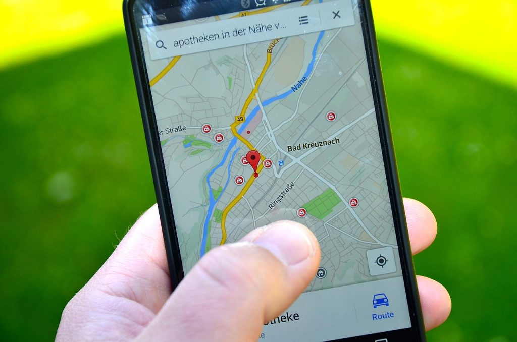
As a result of the irruption of new technologies and access to data, it was possible to expand the role played by georeferenced data in market studies. Before it was necessary to have somewhat expensive equipment such as GPS (Global Positioning System) receivers to collect them. Nowadays, a common cell phone is enough to have access to them. Given its increasing influence, we list three uses that georeference data have to achieve the goals of market studies.
Validate surveys in the field. Perhaps it is the most obvious utility. In field data collections, various supervision mechanisms must be implemented to ensure that the findings meet quality and validity standards. A bad practice in this phase is the falsification of interviews. To prevent this, the electronic devices provided to survey personnel are programmed for automatic registration and without access to editing the location and start and end time of each interview.
Locate sites. Although it seems obvious, knowing precisely where the research tasks should be carried out can be a challenge on some occasions. One way to locate a place in cities is simply to indicate the address. However, in each country the domicile structure is different; sometimes within the same national territory. In addition, there are areas of opportunity in the validity of the addresses of certain places on platforms such as Google Maps. Having the location with georeferenced data limits this problem.
Identify patterns. To develop some studies it is essential to have location data; whether these are points, routes or areas. For example, the regionalization of demographic patterns and consumption habits based on administrative areas such as zip code can be defined as a goal of analysis. The polygons of the postal territorial units are also georeferenced data, so they must be accessed either through public sources or through purchases from authorized providers.
Although there are automated solutions to collect georeferenced data, it is necessary to point out their scope. To cite some of them, we find the degree of precision of the capture devices, the size of the data and the calibration of the parameters of the coordinate system. If you do not take care of the attributes listed above, you run the risk of accumulating figures without a valid practical purpose.
We know how important data linked to its geographic location is. For this reason, we have analysts with experience in the field to advise you and help you carry out your next research project. Write us today so that we can put at your disposal our two decades of knowledge in the Latin American markets.
Short Link: